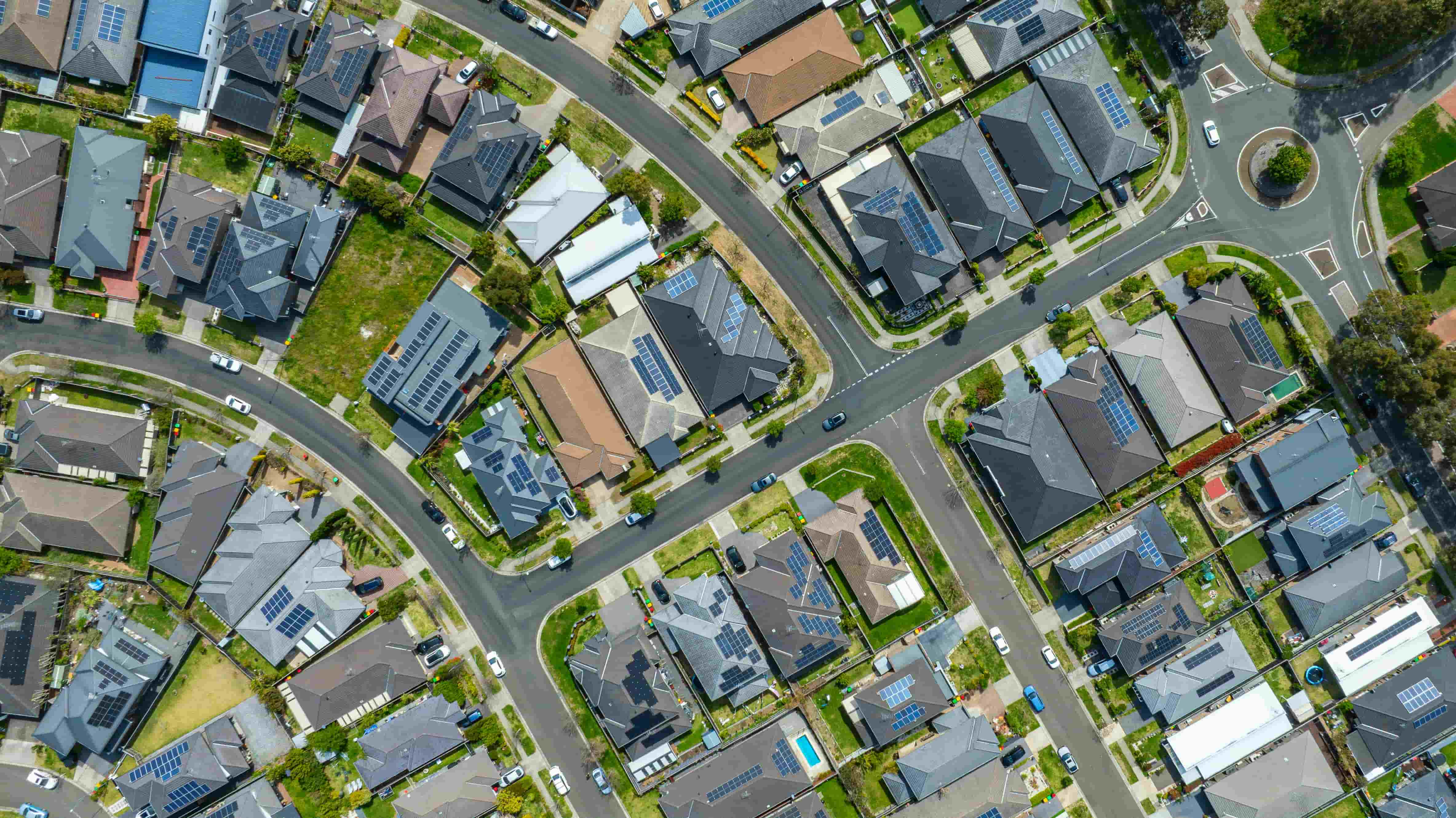
What a walk score calculator does
Type in an address, get back a number. That is the whole promise of a walk score calculator, and it is a useful one. Before you inspect a rental, shortlist a suburb or make an offer, you get a quick read on how much of your week you could manage on foot from that front door.
Most calculators return a score between 0 and 100. Near the top of the scale, the supermarket, the train, the GP and a decent coffee are all a short walk away. Near the bottom, almost every trip needs a car.
The name comes from Walk Score, a Seattle company that launched the first widely used calculator in 2007 and was later bought by the US property portal Redfin. "Walk score" has since become the generic phrase people search for, the way people say "Google it" for any search engine. In Australia you can get a walkability score from Walk Score itself, from tools built into some property portals, and from geoscore.com.au, which builds its scores from Australian data.
The number on its own only gets you so far, so this guide covers how calculators arrive at it, what it means, and the questions it can't answer.
How walk score calculators work
Every calculator follows roughly the same recipe, with differences in the ingredients.
Step 1: find what's nearby
The calculator looks up every relevant destination within a set distance of the address. These are grouped into categories: transport stops, supermarkets and shops, schools and childcare, GPs and pharmacies, cafes and restaurants, parks, and entertainment venues.
Where that data comes from matters a lot. Some providers use commercial business listings. Others use open map data. Either way, a destination that is missing from the data can't count towards the score.
Step 2: measure the walk to each one
This is where calculators differ most. The simple approach measures straight-line distance, as the crow flies. It is quick to compute and often wrong, because people walk along footpaths and around obstacles.
A better approach measures network distance: the route you would actually walk, along footpaths, through laneways and across pedestrian crossings. If a railway line sits between you and the shops and the nearest crossing is 600 metres up the road, network distance includes that detour.
On a map, two houses can look the same distance from a station. Walk it and one might take five minutes while the other takes fifteen.
Step 3: give closer places more weight
A supermarket 200 metres away is worth more to you than one 1.5 kilometres away, even though both are technically "walkable". Calculators handle this with a distance decay: each destination contributes less to the score the further away it is, until it drops out entirely past a cut-off.
Step 4: turn it into a score
Finally the calculator combines the category results into a number. Some use a fixed formula where a perfect score means hitting a set list of amenities within a set distance. Others rank the address against other locations, so the score tells you how it compares with the rest of the city.
How geoscore approaches walkability
geoscore measures walking times along the pedestrian network, so the time you see for an amenity is the time it takes to walk there. Every address is then scored by category and ranked against the rest of its suburb, its local government area and its city.
There are two reasons we rank rather than award points against a fixed checklist:
- A ranking tells you how an address compares with the places around it, which is the comparison most buyers and renters are making.
- Scores are reported by category, so a family can look at schools and parks and a commuter can look at trains, without one number blurring the two together.
How to read your result
Start with the categories you'll use
The overall score is a summary. Most of what you want to know is in the category scores. Make a short list of the trips you actually make every week, and check those first.
| If you are... | Check these first |
|---|---|
| Commuting to the CBD | Transport, Gastronomy |
| Raising young kids | Education, Nature, Shopping |
| Living without a car | Transport, Shopping, Health |
| Retiring or downsizing | Health, Shopping, Transport |
| Buying as an investor | All of them, compared against the suburb |
An address that scores 60 overall can still be in the top tenth of its city for transport. If you take the train every day, that is the number that matters.
Look at the walking times, not just the score
A score tells you how an address ranks. A walking time tells you what your Tuesday morning looks like. On every geoscore property profile, each nearby amenity is listed with its walking time, and plotted on a map around the address so you can see where the route goes.
If the train station is "eight minutes" away, check whether it's the station on the line you need.
Compare against the right area
A score of 70 in the inner city is a different story to a 70 on the urban fringe. Because geoscore ranks addresses against the suburb, LGA and city, you can tell whether a home is one of the better-connected streets in an outer suburb or an average spot in a very walkable one.
What no walk score calculator can tell you
All calculators share some blind spots, including ours. Keep these in mind before relying on any single number.
Hills. A 10-minute walk on the flat and a 10-minute walk up a steep rise to Brisbane's Paddington ridgeline are different experiences, especially with a pram or shopping bags.
Footpath quality and shade. Most maps record that a footpath exists, not whether it is cracked, narrow, or has no trees along a 38-degree January afternoon.
Safety and comfort. Busy roads with long waits at the lights, poorly lit underpasses and routes that feel isolated after dark all affect whether people actually walk. Map data rarely captures them.
Quality of the destination. A calculator counts a supermarket. It can't tell you whether it's a full-line store or a small convenience shop, or whether the "park" is a sports oval you can't use on weekends.
Change. New train stations, shopping centres and schools open; others close. Scores reflect the map at the time they were calculated. In fast-growing areas, check what is planned as well as what is there now.
The best use of a walk score calculator is to narrow a shortlist. Then go and walk the route at the time of day you'd make the trip.
Running the calculator in reverse
A walk score calculator answers the question "how walkable is this address?". Often the more useful question is the opposite one: "where can I live that has the things I need within walking distance?"
That's what Walkability Search does. Instead of checking addresses one at a time, you set the conditions you care about, such as a supermarket within 10 minutes, a train station within 15 and a park within 5, and the map shows every part of a city, LGA or suburb that meets them. You can add or remove filters for cafes, schools, kindergartens, GPs, gyms, trams, buses, beaches and more.
It's a quicker way to find suburbs you hadn't considered, and to rule out the ones that look close to everything on a listing but aren't.
Check any Australian address
Every Australian address on geoscore.com.au has a free property profile with:
- An overall walkability score, plus separate scores for Transport, Education, Shopping, Health, Gastronomy, Nature, Entertainment and Amenities.
- Rankings against the suburb, local government area and city.
- Walking times to each nearby amenity, measured along the actual pedestrian network.
- An interactive map showing every amenity that counts towards the score.
No account and no paywall.
Search any Australian address to see its walkability score, walking times and nearby amenities in a few seconds.